- Known for
- Creating the 1375 Catalan Atlas, the most important medieval map of the known world
- Fatal flaw
- A Jewish craftsman working under royal protection in an era when that protection could be revoked, leaving his son to face forced conversion and his tradition to die with him
The Story
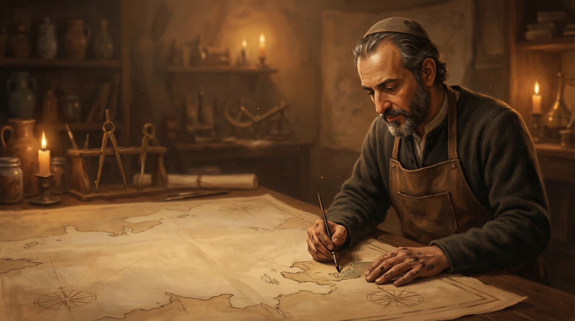
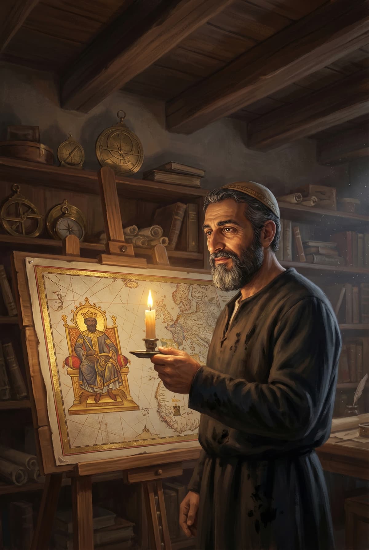
Sometime in the 1370s, in a workshop on the island of Majorca, a Jewish cartographer named Abraham Cresques began assembling the most ambitious map the medieval world had ever seen. It would measure nearly ten feet across, spread over six parchment leaves mounted on wooden boards. It would depict the known world from the Atlantic to China, combining the latest geographic knowledge from Christian, Muslim, and Jewish sources. And in the lower left corner, in the region European mapmakers usually left blank or filled with monsters, Cresques would draw something unprecedented: a West African emperor seated on a golden throne, holding a gold nugget, with a caption identifying him as "Musse Melly, lord of the Blacks of Guinea... the richest and most noble king in all the land."
The map was the Catalan Atlas of 1375, and the emperor was Mansa Musa.
Cresques was a master of the Majorcan cartographic school, the most advanced mapmaking tradition in medieval Europe. Majorca, perched in the western Mediterranean between Christian Spain and the Muslim Maghreb, was uniquely positioned to absorb geographic knowledge from both worlds. Arab geographers, Jewish merchants, and Christian sailors all passed through, and the island's cartographers synthesized their information into portolan charts and world maps of unprecedented accuracy.
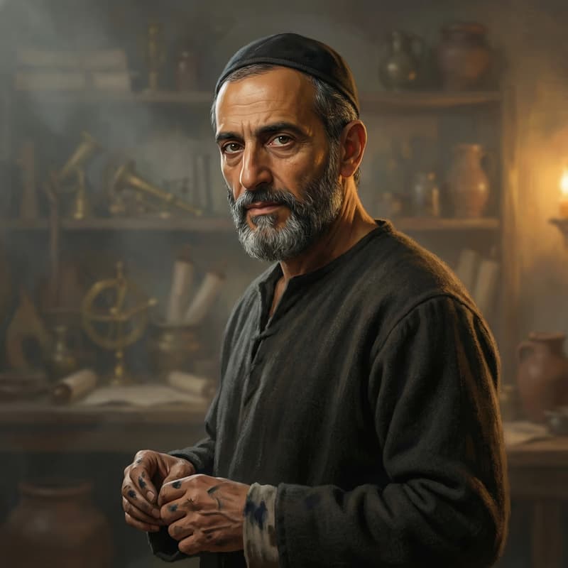
Cresques was not just a mapmaker. He was a builder of clocks, compasses, and nautical instruments, a polymath craftsman who read Catalan, Hebrew, and Arabic. He worked under the patronage of the Crown of Aragon and was the only mapmaker of his generation documented in royal service. King Peter IV of Aragon likely commissioned the Catalan Atlas as a diplomatic gift for King Charles V of France.
The atlas was his masterpiece. It combined traditional portolan navigation charts with cosmological diagrams, trade route information, and depictions of rulers across Asia and Africa. The inclusion of Mansa Musa, based on accounts of the 1324 hajj that had filtered across the Mediterranean, was a statement: here was a ruler so wealthy and powerful that European cartographers could no longer ignore him. Cresques did not just draw a map. He drew the first European acknowledgment that sub-Saharan Africa was part of the world that mattered.
Personality & Motivations
No personal letters or diaries from Cresques survive. What we know of his personality must be inferred from his work and his circumstances. The Catalan Atlas reveals a mind that was simultaneously precise and imaginative, willing to incorporate information from Muslim sources at a time when many Christian scholars dismissed them, and capable of rendering the unknown with the same confidence as the known.
His position as a Jewish craftsman in royal service shaped everything. Jews in 14th-century Majorca occupied a precarious social position: valued for their skills, taxed heavily, protected by the crown when convenient, and vulnerable to popular violence when the crown's protection wavered. Cresques and his son Jehuda were granted special royal protection in 1381 and exempted from wearing the Jewish badge, an extraordinary privilege that reflected both their value and their vulnerability.
This precarity may explain the atlas's ambition. A Jewish mapmaker working for a Christian king needed to be indispensable. The Catalan Atlas was not just a geographic document. It was a demonstration of irreplaceable expertise, proof that Cresques could synthesize Christian, Muslim, and Jewish knowledge in a way no one else could. The map was his shield.
What Most People Get Wrong
The Catalan Atlas is often described as a map. It is more accurately a cosmological encyclopedia in graphic form. The six panels include not just geographic information but astronomical charts, a perpetual calendar, tidal tables, and descriptions of peoples and customs across Asia and Africa. Cresques was not just plotting coastlines. He was representing the entire known universe, from the mechanics of the heavens to the kingdoms of the earth.
The depiction of Mansa Musa was not an act of African solidarity or progressive cartography. It was a function of trade intelligence. Majorcan merchants were deeply involved in the trans-Saharan gold trade through North African intermediaries. They knew exactly where the gold came from. Cresques put Musa on the map because his patrons and clients needed to know where the gold was, and who controlled it.
Key Moments
Majorca, 1325. Abraham Cresques is born into the Jewish community of Palma de Mallorca. The island is a crossroads of Mediterranean culture, where Catalan Christians, Jews, and Muslim traders interact daily. The Majorcan cartographic school is already the most advanced in Europe, and Cresques will grow up learning the trade from its masters.
Majorca, c. 1360s. Cresques establishes himself as a master cartographer and instrument maker. He builds clocks, compasses, and nautical tools in addition to maps. His workshop becomes the most important in Majorca, attracting royal patronage from the Crown of Aragon. He trains his son Jehuda in the craft.
Majorca, 1375. Cresques completes the Catalan Atlas, likely commissioned by King Peter IV of Aragon as a gift for King Charles V of France. The atlas, measuring nearly ten feet across, depicts the known world with unprecedented detail and accuracy. In West Africa, Mansa Musa appears seated on a golden throne, holding a gold nugget. The caption reads: "This Black lord is called Musse Melly, lord of the Blacks of Guinea. So abundant is the gold which is found in his country that he is the richest and most noble king in all the land."
Majorca, 1381. Cresques and his son Jehuda are granted special royal protection and exempted from wearing the Jewish badge, an extraordinary privilege. The exemption acknowledges their value to the crown while highlighting the discrimination that ordinary Jews continued to face.
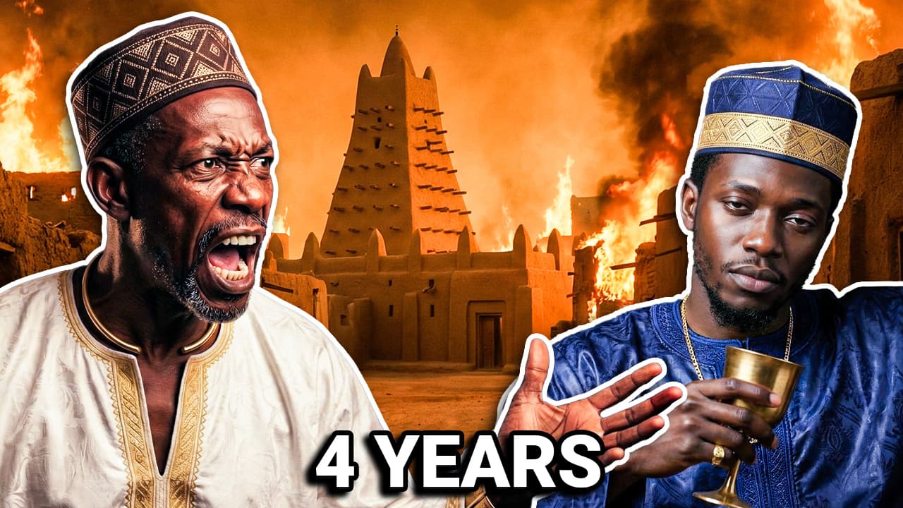
Majorca, 1387. Abraham Cresques dies. His son Jehuda continues the family's cartographic work. Four years later, in the anti-Jewish pogroms of 1391, Jehuda will be forcibly converted to Christianity, taking the name Jaume Riba. He is ordered to move to Barcelona, where he continues making maps as a court cartographer. The Majorcan Jewish cartographic tradition, the tradition that produced the Catalan Atlas, effectively ends with a baptismal font.
The Detail History Forgot
The Catalan Atlas survives today in the Bibliotheque nationale de France in Paris, where it has been since the late 14th century. It is one of the most studied medieval documents in existence. But what is easy to forget is that the atlas was built on information from people who will never be named: Jewish and Muslim merchants who traveled the trans-Saharan routes, Arab geographers whose works Cresques read in the original, sailors who brought back reports from ports across the Mediterranean and beyond.
Cresques synthesized centuries of accumulated knowledge from three religious and linguistic traditions. The atlas was not the work of one genius in a workshop. It was the product of an entire Mediterranean information network, and Cresques was its editor, its designer, and its most gifted translator. The map is beautiful because it is collaborative, even if only one name appears on it.
The Downfall
Abraham Cresques died in 1387, apparently of natural causes, still enjoying royal protection and professional prestige. His downfall, if it can be called that, happened after his death and fell on his son.
In 1391, four years after Abraham's death, anti-Jewish pogroms swept across the Crown of Aragon. Mobs attacked Jewish communities in Barcelona, Valencia, Palma de Mallorca, and dozens of other cities. Thousands of Jews were killed. Thousands more were forcibly baptized. Jehuda Cresques, Abraham's son and collaborator, was among those forced to convert. He took the Christian name Jaume Riba and was ordered to relocate to Barcelona, where he continued working as a court cartographer under his new identity.
The conversion was not a choice. It was survival. But it extinguished the Majorcan Jewish cartographic tradition that had produced the finest maps in Europe. The synthesis of Christian, Muslim, and Jewish knowledge that made the Catalan Atlas possible depended on a community that could move between cultures. When that community was destroyed, the mapmaking tradition fractured. Jehuda could still draw coastlines and compass roses, but the world that had fed his father's genius, the multilingual, multi-faith crossroads of Majorcan Jewish life, was gone.
Abraham Cresques drew a map that showed the richest king in the world. He could not draw a map that showed where his own community was headed.